Drought Variability and the Robustness of Agrarian Social Networks
Abstract
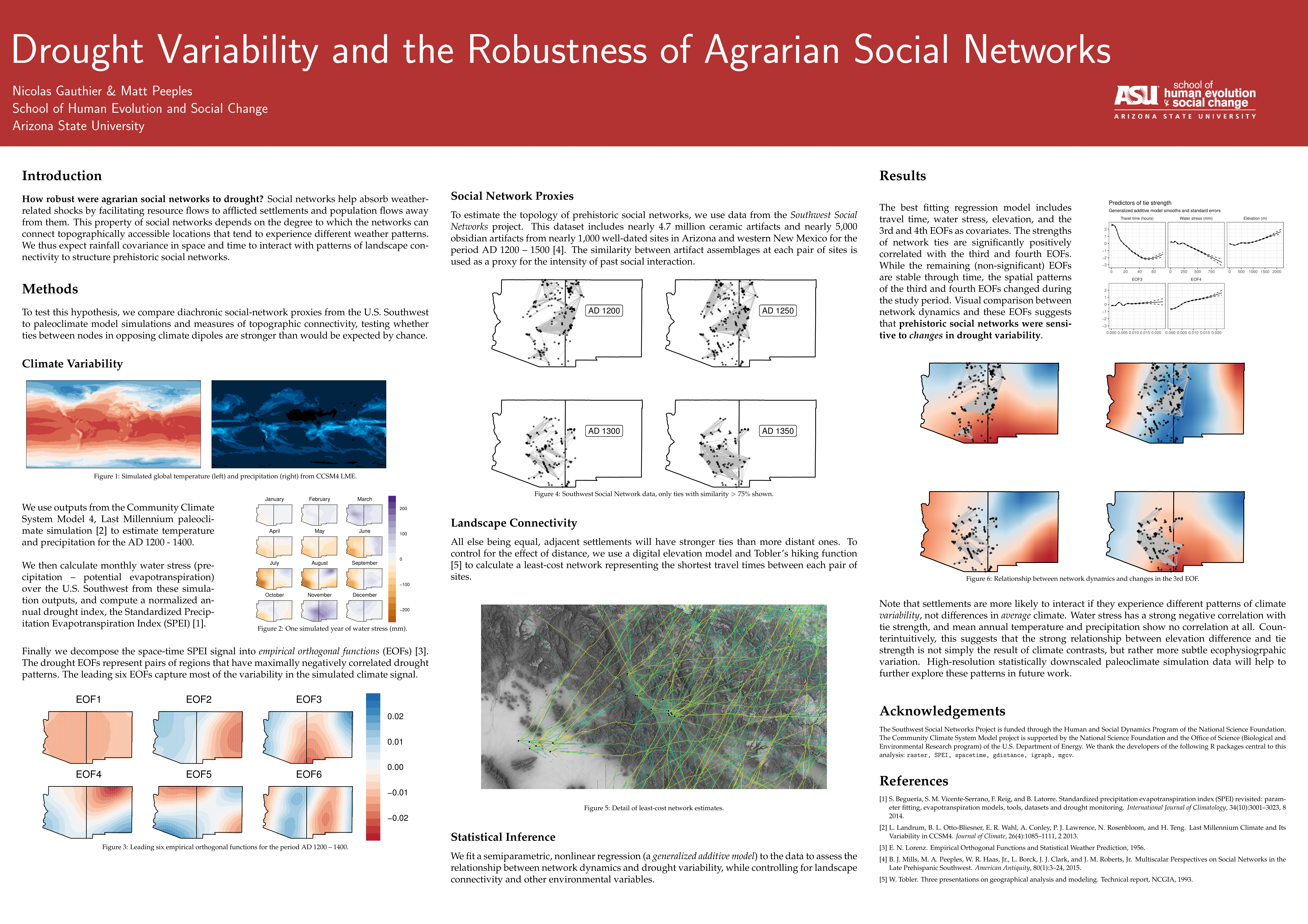
How robust were agrarian social networks to drought? Social networks can absorb climate shocks by facilitating resource flows to afflicted nodes and population flows away from them. Because this property of social networks depends on their ability to connect regions with anti-correlated rainfall, we expect the interaction between landscape connectivity and drought spatio-temporal covariance structures will select for particular network configurations. To test this hypothesis, we compare diachronic social-network proxies from the U.S. Southwest to an ensemble of paleoclimate model simulations. We first use outputs from the Community Earth System Model Last Millennium Ensemble project to calculate a multiscalar drought index for the period AD 1150-1450. We then use Empirical Orthogonal Function analysis to decompose these complex space-time fields into maps of the leading modes of drought variability. Finally, we compare these maps to network data produced by the Southwest Social Networks project, testing whether ties between nodes in opposing climate dipoles are stronger than would be expected by chance alone. Mobilising these two spatially explicit and diachronic archaeological and climatological datasets allows us to quantitatively assess the complex interplay between social and ecological dynamics on large regional scales.